
Find Rancho Cucamonga Streets by Address
A useful street directory walkthrough moves from an address to a parcel, then from the parcel to records that carry a name or date. The assessor is the first bridge because the recorder’s index is not designed to find ownership by street address. The map supplies the APN; the APN and assessed owner supply search terms; the recorder supplies parties to instruments; permits and historic sources explain change. Registered-voter information is controlled by California law and cannot be treated as an open block list.
- Normalize the address, including directionals and the street suffix, then check the city map for jurisdiction.
- Use San Bernardino County Parcel Access or a map click to record the APN, situs, owner, and mailing distinction.
- Pan along the same street and record adjacent or across-street APNs instead of assuming one text search returns the whole block.
- Search the recorder by current owner as grantee, then follow the seller as an earlier grantee through the deed chain.
- Add city permits, approved historical sources, and lawful public-record context, keeping each source’s date and role.
This sequence turns a Rancho Cucamonga street directory into a reproducible address trail. It does not promise a list of every person at a location.
Note: The APN is the repeatable bridge linking a mapped parcel to later assessor, deed, and permit research.
Rancho Cucamonga Street Address to APN
The county assessor’s Parcel Access and published roll material support address, APN, map, name, situs, property-ID, parcel-map, tract-map, and assessor-map-book searches. Search directionals in more than one form. A long APN shown by the current portal may differ from a shorter GIS extract, so preserve the display used by the source. The assessor warns that valuation data are not a legal title opinion or a permitted-use determination.
The official Assessor Property Information page is the correct starting point for the street directory. Its map can identify a subject parcel, while annual secured rolls, current-owner files, all-owner files, transfer data, and property-characteristics files support a wider review.
The county property-research guide shows how the parcel clue becomes a record trail. The capture below represents that bridge in a Rancho Cucamonga by-address search.
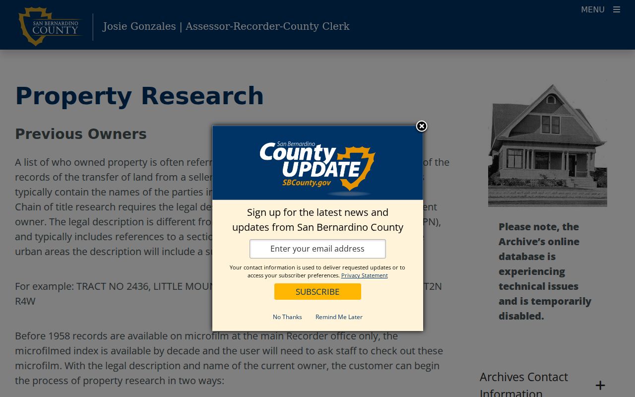
Once the APN is written down, use it as the stable bridge to the map, deed index, permit search, and historical property notes.
- APN
- The assessor parcel number used to identify a tax and map unit.
- Situs
- The physical property location, which may not match an owner’s mailing address.
- Plat
- A recorded map showing a subdivision, lots, streets, or other legal layout.
- Criss-cross directory
- A reverse directory arranged by street address or telephone rather than only by surname.
Browse Rancho Cucamonga Street Parcels
Street-by-street work is best done in the map. Search or pan to the target address, zoom until parcel lines appear, click the subject, and record its APN. Then click each parcel sharing an edge and the parcels across the street. A map-defined block scope is more repeatable than a postal ZIP or a neighborhood label.
Rancho Cucamonga’s My Community Map adds zoning, special-district, and property context. The county assessor map remains the ownership and APN authority. A city map can explain jurisdiction and planning context without becoming a household directory.
The image below is the city map source listed for Rancho Cucamonga street-directory research. Use it to compare city context with the county parcel record.
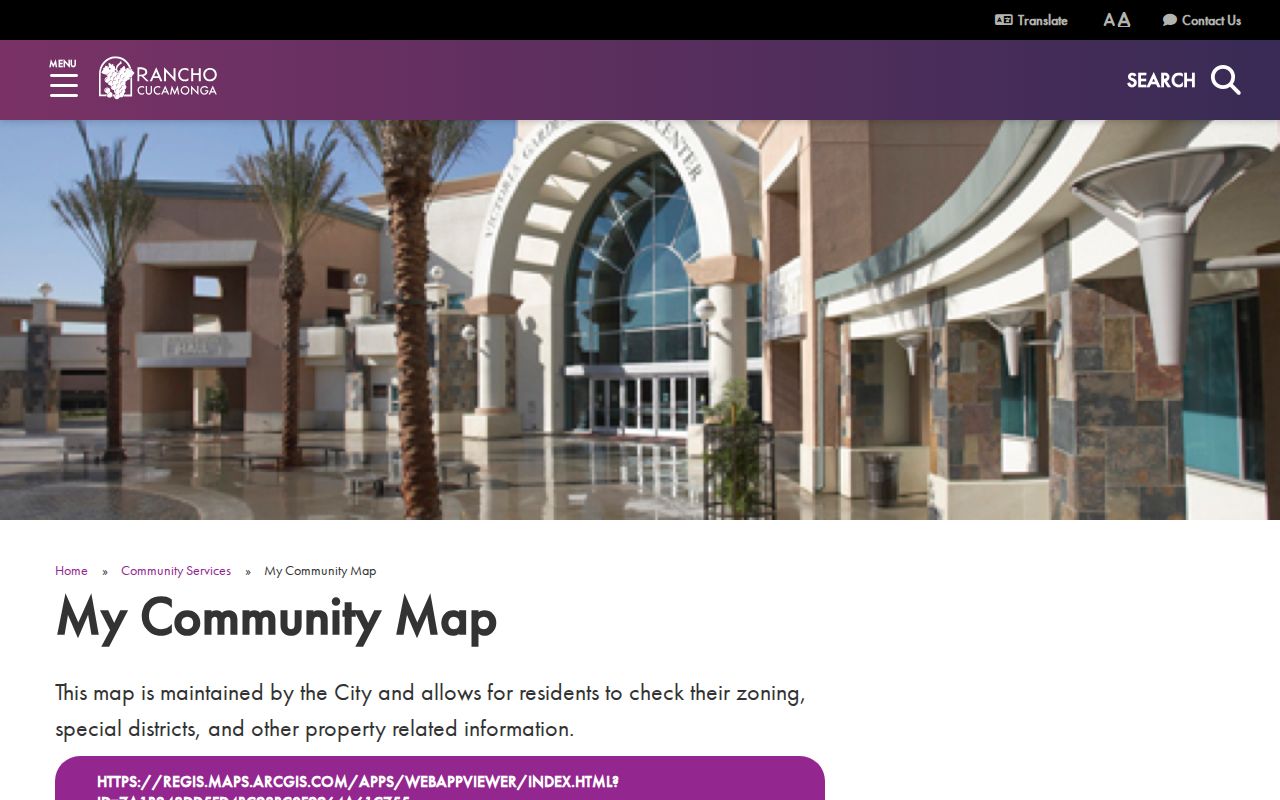
Corner lots, condominium master parcels, split parcels, and parcels with blank or unusual situs fields need legal-description checking before they are grouped as neighbors.
Rancho Cucamonga Street Records by Address
Each address-keyed source has a different role. The assessor shows tax-administration fields. GIS shows spatial relationships. The recorder shows parties to recorded instruments, not a street roster. City permits show projects and named participants. A voter file is controlled and purpose-limited. Reverse directories, when a verified run exists, are historical address clues.
| Record Set | Keeper | Street-Level Evidence | Access |
|---|---|---|---|
| Parcel map and roll | County Assessor | APN, assessed owner, situs, values, mailing distinction | Map and files are free |
| GIS and city map | County or City | Adjacent parcels, zoning, districts, planning context | Interactive viewers |
| Recorded instruments | County Recorder | Grantor, grantee, date, title, document number | Free index; images by office or order |
| Permit and document files | Rancho Cucamonga | Site address, work, applicant, contractor, project date | Portal, browse, or CPRA request |
| Reverse directory or census | Library, archive, or NARA | Past address and household clues | Collection and year dependent |
The APN ties the assessor to the parcel map and helps frame the recorder search. The street name ties map browsing to the address question. No single row should be described as proof of everyone at a home.
Note: A street record set answers one narrow question, so combine sources only after preserving each date and role.
Rancho Cucamonga Street Record Fields
The live assessor search is more useful when its field names are understood. The govPIMS user guide documents several modes and result groups. A map click can find a parcel when the address geocoder fails. A name search can find an assessed owner, but an assessed name is not conclusive title. A situs search uses the physical address. Published roll files may be better for a ZIP or street-wide project if their layout includes the needed field.
| Field or control | Type | Use in a street directory |
|---|---|---|
| Address | Text or geocoder | Normalize street number, direction, and suffix. |
| Assessor Parcel Number | Identifier | Bridge map, roll, and recorder research. |
| Map click | Interactive | Select a parcel from street context. |
| Name Search | Text mode | Find assessed-name clues; do not treat as occupancy proof. |
| Situs Search | Structured address | Search the physical property location. |
| Parcel, tract, or map-book search | Map/index mode | Resolve legal layout and split-parcel questions. |
Parcel Information, Ownership Information, Parcel History, Roll Values History, Characteristics, and Reports can each answer a different part of the address question. Save the date of the lookup because current and historical roll files are snapshots.
From Owner to Rancho Cucamonga Deed Records
The recorder’s official index is organized around document number, date, title, grantor, and grantee. The general advertised coverage is 1925 to the present. The county property-research guide says online chain work is operationally available from 1958 and directs pre-1958 research to main-office books or microfilm. That two-part boundary is a key Rancho Cucamonga street directory caveat.
The county chain-of-title guide says to secure the current owner and legal description, find that owner as grantee, inspect the deed, capture the grantor, then search the grantor as an earlier grantee. Use both party roles and spelling variants. A document image may require office viewing or a paid copy; the web result is an index.
The recorder-search capture below shows the Recorder Public Access System screen. It belongs in the address workflow after the assessor has supplied a name or APN.
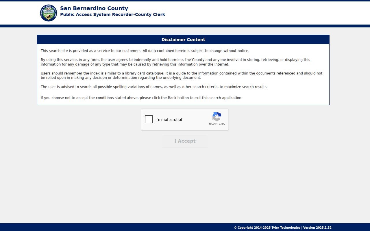
A deed chain traces ownership and legal descriptions. It does not establish that a named owner lived at the property during every part of the chain.
Rancho Cucamonga Address Records Date Property
The Online Permit Center and City Document Center are useful when the address question is really about what changed at a parcel. Building & Safety says applications and plan submittals are electronic, with kiosks near the Planning counter. Depending on the module, a record may identify a permit number, site address, applicant, contractor, inspection, or project status. An existing file can also be requested through the city records portal.
The Building & Safety page is the proper entry point. The image below is the captured city permit source.
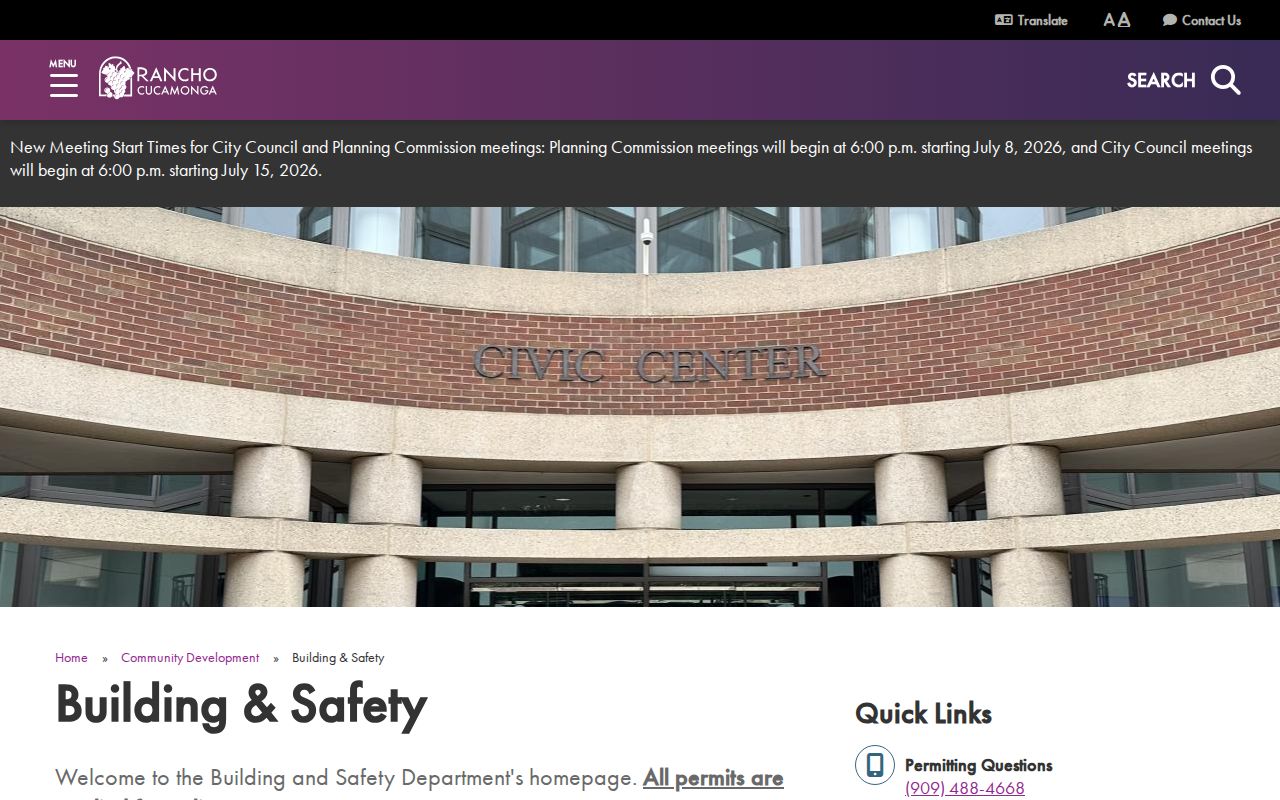
Permits can separate a construction event from an ownership event. An applicant may be an architect or contractor, and a project date may show when a building changed without naming the people who occupied it.
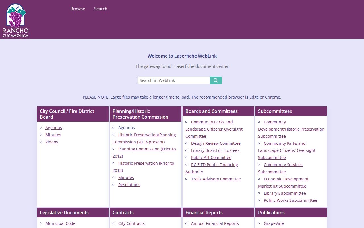
The city’s Laserfiche Document Center adds a second municipal channel. Its folders include legislative documents, contracts, budgets, publications, campaign disclosures, and additional public records. Search the repository before using the request form, then describe the department, address, record type, and date span if an existing file is not posted.
The Rancho Cucamonga Document Center capture below represents that address and records-request route.
A city archive can preserve a dated applicant or speaker, but a municipal record still needs a precise role. It is evidence about a project or civic action, not a complete street directory.
Note: Permit applicants, owners, and contractors can differ, making project records useful without turning them into occupancy evidence.
Rancho Cucamonga Street Names and Route 66
Street names in Rancho Cucamonga carry history. Foothill Boulevard is also Route 66 in newspaper and permit references. Base Line Road, 19th Street, Arrow Route, and 4th and 6th streets work as search pivots, while Archibald, Haven, Milliken, Rochester, Etiwanda, and East avenues cross older community labels. Use the exact label printed in the record.
Pre-1977 documents may say Alta Loma, Cucamonga, North Cucamonga, or Etiwanda instead of Rancho Cucamonga. The 2020 Etiwanda Heights annexation added roughly 4,085 acres to the city, but it did not retroactively change older directories or postal language. A modern street directory search should preserve both the present address and the historic name.
When an address seems absent, try the founding community, nearby Ontario or Upland, and the Pomona-area exchange. That is often a catalog problem, not evidence that the property has no record.
Reverse Directories Along Rancho Cucamonga Streets
A reverse or criss-cross directory starts with an address or telephone rather than a surname. It can bridge gaps between census years, deeds, and modern parcel data. The research file does not verify a complete Polk or Haines year run for Rancho Cucamonga. The May 1962 Pomona-area telephone directory is verified and names Alta Loma, Cucamonga, and Etiwanda on its coverage page.
Use a library catalog or reference desk to confirm the exact volume, community label, and abbreviation key. A directory entry may show a surname, initials, occupation, spouse, residence address, business address, or marks such as householder or rooms. It may omit unlisted people or skip a year. The historical collections are covered more fully in the Rancho Cucamonga city directory page.
For current street work, treat a reverse listing as a dated historical clue. Pair it with the APN, permit date, census household, deed, probate, or obituary rather than treating one line as a complete resident roll.
Note: The verified telephone volume supplies a local lead, but its coverage does not establish a complete reverse-directory run.
Limits of the Rancho Cucamonga Street Directory
A property roll does not list every household member. A deed names parties to an instrument. A permit names project participants. A reverse directory can omit unlisted entries and has gaps. Utility accounts and DMV addresses are not open street sources. California voter data is protected and purpose-limited, and Safe at Home creates confidential address treatment for qualifying participants.
Keep ownership, occupancy, postal geography, court venue, and custody geography separate. West Valley Detention Center is physically in Rancho Cucamonga, for example, but a facility address does not establish a person’s residence. A court address records where a case is handled, not necessarily where a party lives.
Lawful use. Use Rancho Cucamonga street and address records for lawful personal research, family history, civic understanding, or property curiosity. Do not use a lookup to stalk, harass, intimidate, or harm anyone.
When a question shifts from a whole street to one person, the Rancho Cucamonga resident lookup workflow supplies the identity checks. The street directory remains the address map.