
Rancho Cucamonga Neighbors and Block Sources
A block lookup needs a defined scope and a source for each claim. The assessor and GIS map describe parcels. The recorder describes parties to instruments. Permits describe dated work. Voter information is controlled. Community organizations may offer public contacts without releasing member rosters. The coverage table keeps the neighborhood layer honest.
| Source | What It Shows About a Block | Access |
|---|---|---|
| County assessor parcel map and roll | Touching parcels, APNs, assessed owners, situs and mailing distinctions | Parcel Access, map, published files |
| City My Community Map | Zoning, special districts, property context, planning geography | Free interactive map |
| Recorder index | Recorded parties and transfers tied to selected parcels | Free index; images by office or order |
| City permits and documents | Address-dated work, applicants, contractors, civic names | Portal, browse, or CPRA request |
| Voter-file channel | Controlled registration data for approved purposes | Application and safeguards |
| Community organizations | Public contact or program information, not private rosters | Organization or city/Sheriff route |
The block is a map scope, not a list of residents. The best neighbor lookup begins with parcels that truly touch or face the target, then labels every result by source and date.
Note: Define the Rancho Cucamonga neighbor block with parcel relationships before adding broader ZIP, planning, or community context.
Define the Rancho Cucamonga Neighbor Block
“Neighbors” can mean the parcels sharing a boundary, the homes across the street, a postal ZIP, a planning community, or a radius. These scopes produce different results. For a reproducible Rancho Cucamonga neighbor lookup, use the subject parcel, each parcel sharing an edge, and the parcels across the street. Note corner lots, cul-de-sacs, condominium master parcels, and open space separately.
A postal ZIP is too broad for a block. A planning area gives context but not a resident roster. A radius may include parcels that do not share a street or boundary. The county parcel map is the cleanest starting scope because it can be clicked parcel by parcel.
Keep a block list with APN, situs, across-street status, source date, and follow-up record. Do not fill gaps with a guess about who occupies a parcel.
Map Rancho Cucamonga Neighbor Parcels
The adjacent-parcel method turns a map into a repeatable process. Search or pan to the target address in the county assessor map, zoom until parcel boundaries appear, and click the subject. Record its APN and situs. Click every parcel sharing an edge, then the parcels across the street. Use each APN in the assessor search and retain the mailing-versus-situs distinction.
- Open County Assessor Parcel Access and locate the subject by address or map.
- Write the APN, assessed owner, situs, mailing address, and source date for the subject parcel.
- Click adjacent and across-street parcels to define the block, without assuming a buffer tool exists.
- Check My Community Map for zoning, districts, and city context.
- Use the recorder, permit, or historical source only for the specific parcel and question it can answer.
This flow is address → parcel → APN → adjacent parcel → assessed owner → relevant record. It does not become a current household list.
Note: Touching and across-street parcels create a reproducible block scope that a postal ZIP cannot provide.
Rancho Cucamonga Owners Are Not Every Neighbor
The assessor’s parcel card can include APN, situs, assessee or assessed owner, mailing address, legal or subdivision description, values, tax-rate area, characteristics, transfer date, and exemption indicators. Those are property-tax fields. A mailing address can be a PO box or another property. An exemption may be a clue, not a full household record.
The recorder’s index can add a deed, lien, release, grantor, grantee, title, date, and document number. It cannot be searched as a street-occupancy directory, and images may require office viewing or a paid copy. Permits can name an applicant or contractor. None of these roles automatically equals a neighbor who currently lives on the block.
When a goal shifts from block geography to one person, use the Rancho Cucamonga resident lookup workflow. When it shifts to a whole named street, use the street directory’s parcel chain.
Rancho Cucamonga Voter Records by Block
California does not provide an open public voter-by-street browse for Rancho Cucamonga. My Voter Status is personal verification. Government Code §7924.000 protects street address, phone, email, precinct number, prior-registration data, identifiers, and signatures except through the controlled Elections Code §2194 process. The statutory text sets out that confidentiality boundary. Approved election, scholarly, journalistic, political, and governmental uses have application and safeguard rules.
A full file request identifies the permitted purpose, responsible people, beneficiary or organization, and data safeguards. The state voter-file application describes a statewide fee, a specific-voter request route, processing time, tab-delimited delivery, and excluded identifiers. The voter privacy guidance explains permitted uses and Safe at Home confidentiality. Participation history can say whether someone voted, not how they voted. Safe at Home participants may register confidentially.
The image below comes from the official California voter-file request rules and shows why a neighbor lookup cannot treat voter data as a casual block list.
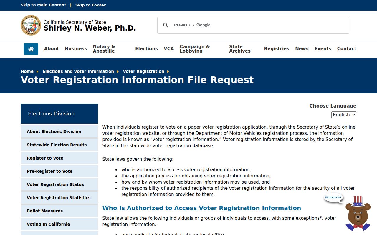
A restricted voter result is a legal boundary, not a missing-data problem to work around.
Note: California’s voter-file rules limit a Rancho Cucamonga neighbor lookup even when the target block is known.
Rancho Cucamonga Neighborhood Planning Context
Planning communities help explain a block’s history without acting as resident directories. Official city planning material names Alta Loma, Red Hill, Cucamonga, Central, South, Southeast, Eastside, Etiwanda, and Central North contexts, including Terra Vista and Victoria. These areas have different lot patterns, street forms, development eras, and institutional references.
Alta Loma’s foothill and semi-rural history differs from Etiwanda’s citrus and rail-depot story. Red Hill and postwar tracts produce different permit and deed windows from later Terra Vista or Victoria growth. Central South and Southeast carry industrial context. Use the city map to assign the block to a planning setting, then use the assessor for parcel facts.
A planning label is useful for searching newspapers, school references, civic minutes, and historical directories. It is not proof that every household on the block belongs to a named association.
Rancho Cucamonga Neighborhood Lists Stay Private
Rancho Cucamonga has community layers that may help a neighbor understand local history or public contact routes. Private homeowner association or congregation rosters are not open household lists. Neighborhood Watch and Sheriff community programs are resident-organized. The Etiwanda Historical Society preserves community history. The Chamber of Commerce may list participating businesses. Public contact does not mean public membership.
| Community layer | Useful public route | What remains private |
|---|---|---|
| Neighborhood Watch or Sheriff programs | Sheriff or city community-program contact | Resident and block rosters |
| Etiwanda Historical Society | Organization contact and activities | Member list unless expressly published |
| HOA or subdivision | Board or management contact; state business filing when public | Homeowner and household list |
| Chamber of Commerce | Public participating-business directory if offered | Private household affiliation |
The research did not locate an official city umbrella page listing every HOA or neighborhood association. A request should go to the named organization, not through an attempt to reconstruct a private roster.
Note: A public organization contact does not authorize access to private Rancho Cucamonga membership or household rosters.
Map Rancho Cucamonga Neighbor Zoning
My Community Map can add zoning, special districts, and property context around the selected address. County GIS and parcel layers can add boundaries and attributes. The assessor remains the ownership and APN authority. Use the map to understand which parcels touch, which district overlays apply, and whether a corner or master parcel needs closer review.
Do not describe a radius or buffer result unless the live viewer offers that control. A reproducible block map uses clicks and recorded APNs. An ArcGIS snapshot may include owner, situs components, exemption flag, tax status, land and improvement values, use, zoning, hazards, acres, and geometry, but a planning snapshot is not the current assessment roll.
When a map shows an unusual mailing field, blank situs, or public owner, record that limitation instead of filling it with a person’s name. The map’s value is spatial clarity.
Protected Rancho Cucamonga Neighbors
Safe at Home provides a substitute mailing address and confidential voter registration for qualifying survivors of domestic violence, stalking, sexual assault, trafficking, child abduction, elder or dependent-adult abuse, and certain threatened public or reproductive-health workers or patients. It does not erase every historical record, but it changes how protected participants appear in current searches.
The image below comes from the California Safe at Home program. It is a reminder that some neighbors are intentionally absent from public address results.
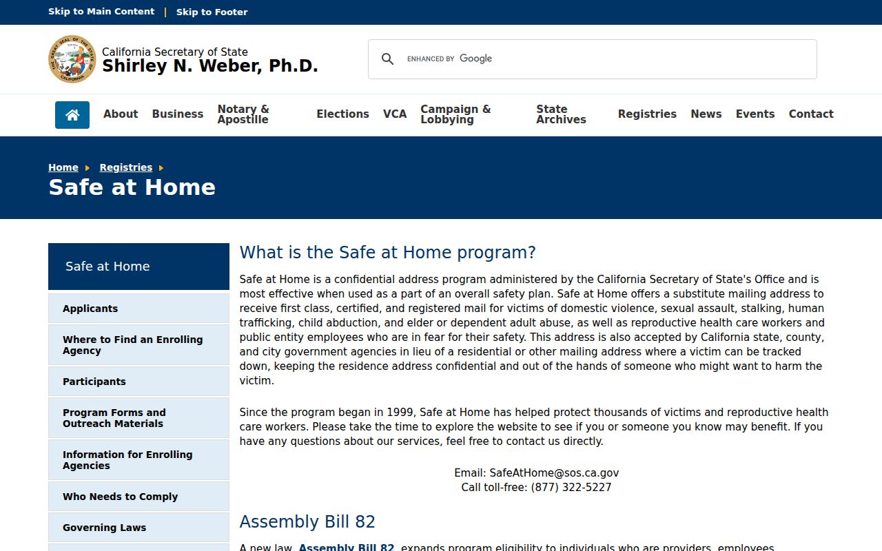
Respect privacy. Use a Rancho Cucamonga neighbor lookup for lawful personal research, civic context, or property curiosity. Do not use public information to stalk, harass, intimidate, or harm anyone.
California’s centralized broker-deletion route can address copies held by participating data brokers. It does not delete a lawful county deed, court file, or assessor record. Correct the underlying custodian when a public record is wrong.
The California Privacy Protection Agency deletion request service is the official route for the centralized request process described in the research. The capture below shows a privacy tool that operates separately from the parcel map and voter-file systems.
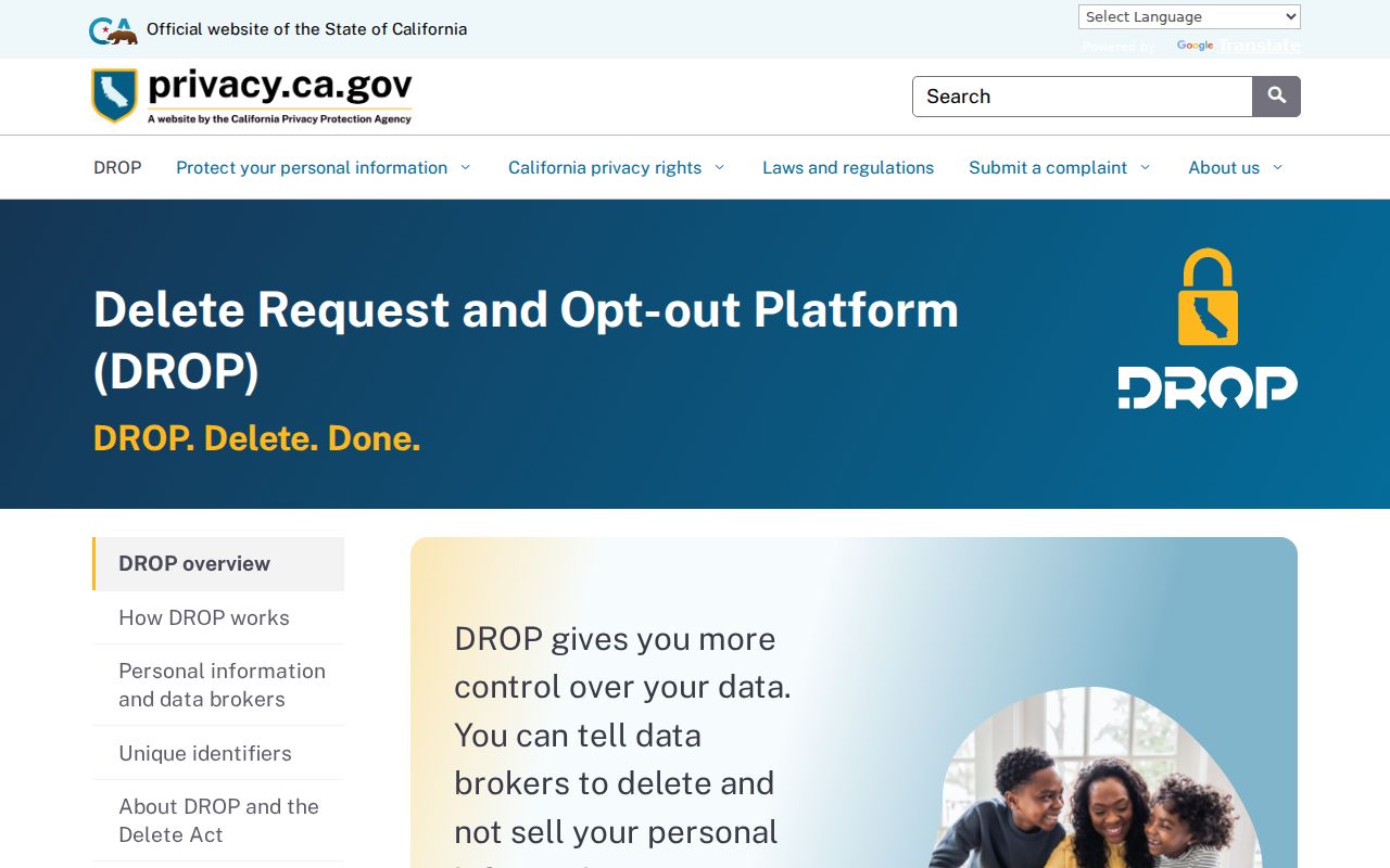
Deletion from a participating compiler does not change the official source. A neighbor lookup should always preserve the custodian, field, and date rather than relying on a reassembled profile.
Note: Broker deletion can remove a copy from a participating service without changing the official custodian’s record.
Rancho Cucamonga Official Rolls Versus Neighbors
Official records and commercial compilation tools serve different purposes. A government source has a named custodian, defined fields, and a legal access rule. A commercial compilation may merge public and purchased data, use older snapshots, conflate names, or charge for a result. Neither category should be treated as a complete list of people nearby.
| Source type | Strength | Limit |
|---|---|---|
| Assessor and parcel map | Stable parcel and assessed-owner structure | Does not list every occupant |
| Recorder index | Dated recorded parties and instruments | Not a street-occupancy roll; images may be separate |
| City map and permits | Spatial and address-dated context | Applicant or project roles are not household proof |
| Commercial compilation | May combine many public clues | Accuracy, date, source, cost, and lawful-use concerns |
For a neighbor question, the official parcel map is the best starting point. For a person question, independent custodians and clear dates matter more than a broad compilation.