
Rancho Cucamonga ZIP Codes and Coverage
Five postal codes are associated with Rancho Cucamonga mailing geography. The table describes the research file’s verified broad coverage, not a definitive street-by-street boundary map. Postal service, city planning, and assessor parcels answer different questions. Verify an exact address before assigning it to a ZIP-based resident or property search.
| ZIP | Areas Covered | Post Office or Identity | Notes |
|---|---|---|---|
| 91701 | Western and northwestern Rancho Cucamonga; Alta Loma | Alta Loma / Rancho Cucamonga mailing identity | Postal geography extends beyond precise city concepts |
| 91730 | Central and southern Rancho Cucamonga; Cucamonga and civic or industrial areas | Rancho Cucamonga mailing name | Does not equal one planning community |
| 91737 | Northern foothill and Alta Loma area | Rancho Cucamonga mailing city | Low-density foothill coverage |
| 91739 | Eastern Rancho Cucamonga; Etiwanda and Victoria Gardens area | Rancho Cucamonga mailing city | Eastern growth areas |
| 91729 | Rancho Cucamonga postal boxes | PO Box ZIP | Do not treat as a residential polygon |
The USPS ZIP Code Lookup is the authority for a specific mailing address. The capture below shows the postal verification channel used before a ZIP code directory search.
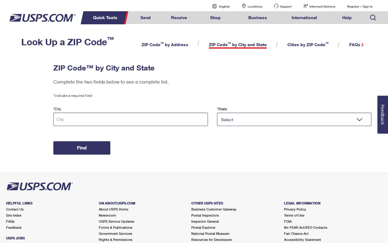
A table row can narrow a search. It cannot turn a ZIP into a list of residents.
Note: ZIP 91729 is a postal-box clue and should never be drawn as a residential area.
Rancho Cucamonga ZIP 91729 PO-Box Clue
ZIP 91729 is associated with Rancho Cucamonga post-office boxes. It should not be drawn as a residential polygon or used to infer that an individual lives in a neighborhood. A PO Box tells a searcher where mail is received, not where a person or parcel sits.
When 91729 appears in a record, separate the mailing field from the situs field. The assessor may show an owner mailing address that differs from the taxed parcel. A business filing may use a mailing box. A court or vital application may use the applicant’s correspondence address. Record the field label before using the ZIP as a geographic clue.
This is the key Rancho Cucamonga ZIP code directory quirk: a postal code can be real and useful while still failing to describe residential geography.
Find Rancho Cucamonga Residents by ZIP
A ZIP-based search works as a narrowing step. It should lead to an exact address, parcel, name, or date, then to the custodian that holds the relevant record. Do not claim that the live assessor map offers a ZIP filter unless the current interface shows one. Published roll files may contain a situs-ZIP field, but the file layout must be checked.
- Verify the address in USPS using address, city, and state, or use city and state to review possible ZIPs.
- Check Rancho Cucamonga’s My Community Map for municipal jurisdiction, planning context, zoning, and districts.
- Use county Parcel Access to identify APN, situs, assessed owner, and mailing address.
- Choose the next record: recorder for a deed, court for a case, library for history, or state agency for a narrow lookup.
- Save the ZIP, source date, and field name so a mailing address is not mistaken for a physical location.
For street-level parcels after the ZIP is narrowed, use the Rancho Cucamonga street directory and its parcel-by-parcel method.
Note: USPS confirms delivery geography, while the city map and assessor determine jurisdiction and parcel context.
Rancho Cucamonga ZIP Directory Search Fields
The USPS lookup has two useful modes. Address mode uses Address, City, State, and ZIP fields with a Find control. City mode uses City and State to identify postal possibilities. County property data can also include situs city and ZIP fields in roll or GIS extracts, but that is a data-file question, not a guaranteed live-map feature.
| Field or control | Type | Interpretation |
|---|---|---|
| Address | Text | Exact postal address in address lookup mode. |
| City | Text | Preferred mailing city, which may not match planning labels. |
| State | Selection or text | California context for the postal result. |
| ZIP | Text | Check an existing ZIP against an address. |
| Find | Button | Submit the selected USPS lookup mode. |
| Situs ZIP in a roll file | Data field if present | Potential ZIP grouping, subject to the file’s documentation. |
ZIP+4, carrier routes, and PO-box handling add delivery detail, not a new residents list. An APN and legal description remain stronger parcel keys than a postal code.
Note: A ZIP field is useful only when the portal or file documentation clearly identifies what the field measures.
- ZIP versus ZIP+4
- A five-digit postal area versus a more precise delivery segment.
- PO-box ZIP
- A postal code used for boxes rather than a residential land polygon.
- Carrier route
- A delivery route within postal operations, not a municipal neighborhood.
- Preferred city
- The mailing-city label USPS accepts, which may cross a city boundary.
Rancho Cucamonga ZIP 91701 and Alta Loma
ZIP 91701 is associated with western and northwestern Rancho Cucamonga and Alta Loma. Alta Loma is also a historic community label, not merely a postal synonym. An older directory, newspaper, census reference, or permit may use Alta Loma while a modern mailing record uses Rancho Cucamonga.
Use the ZIP to narrow the postal clue, then search the assessor’s situs and APN. Compare the city map and historic community name. A property in or near Alta Loma can carry a current ZIP, a historic community label, a planning context, and a county legal description at the same time.
That layered naming is why a Rancho Cucamonga ZIP code directory should preserve the original place label in every citation.
Rancho Cucamonga ZIP 91739 and Eastward Growth
ZIP 91739 covers eastern Rancho Cucamonga, including Etiwanda and the Victoria Gardens area. Etiwanda’s historic identity reaches back through rail depots, citrus development, and community organizations. Victoria Gardens represents a later growth context. The same ZIP can therefore carry records from different eras and land patterns.
Search the exact address through USPS, then check the city map and county parcel. If a historic record says Etiwanda, retain Etiwanda in the research note. Do not assume the ZIP proves a current municipal boundary or that the area had the same jurisdiction when an older record was made.
The image below comes from Rancho Cucamonga’s official Etiwanda Heights history, which helps explain why postal geography and municipal history can move on different tracks.
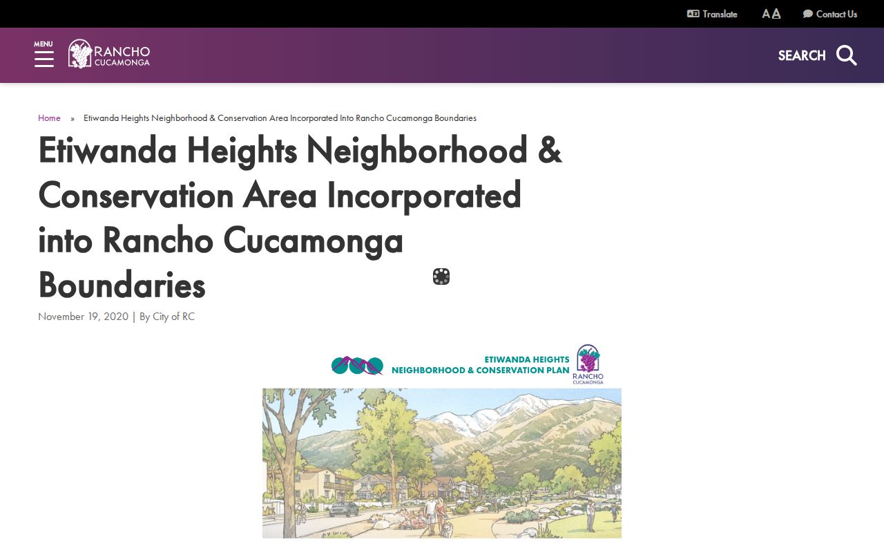
The 2020 annexation added about 4,085 acres. It changed city lines without rewriting historical directory terms.
Note: Preserve postal, municipal, planning, and historical labels separately when a Rancho Cucamonga address crosses those layers.
Rancho Cucamonga ZIPs Versus City Limits
USPS ZIPs route mail. The city map shows municipal and planning context. The assessor parcel layer shows county property units. These layers may overlap without matching. A “Rancho Cucamonga” preferred city name can appear outside a planning neighborhood, and Alta Loma, Cucamonga, or Etiwanda can persist in historical sources after incorporation.
Check all three in sequence: USPS for the mailing result, the city map for jurisdiction and districts, and county Parcel Access for APN and property data. A city-limit question should not be answered from a ZIP alone. A resident question should not be answered from a city label alone.
Rancho Cucamonga’s street structure follows former community roads and agricultural section lines. Foothill Boulevard, the historic Route 66 corridor, Base Line Road, 19th Street, Arrow Route, and 4th and 6th streets run east to west. Archibald, Haven, Milliken, Rochester, Etiwanda, and East avenues provide north-south search pivots. A record can therefore combine a ZIP, a road name, an older community label, a planning area, and a county parcel description.
That layered geography matters when a ZIP-based result appears to cross a boundary. Preserve the USPS result, then quote the city-map and assessor fields separately. The postal name is a delivery convention; the APN and legal description are the parcel keys; the historic label is the clue that helps older directories and newspapers surface.
Boundary check. A ZIP narrows mail geography. It does not prove a parcel’s city jurisdiction, a person’s home, or a complete household.
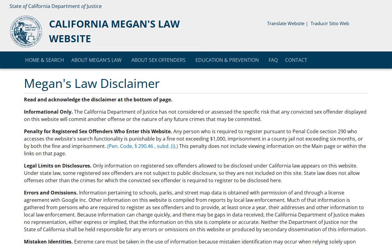
For a name attached to a narrow official record, the California Megan’s Law map or another state lookup may show a public profile with statutory warnings. It remains a purpose-specific result, not a ZIP directory.
Rancho Cucamonga ZIP Records Need Focus
ZIP-wide groupings are most useful for deciding where to look next. County Sheriff public-records requests, the State Controller unclaimed-property search, assessor roll files, and official license or court tools each have their own fields and limits. The ZIP should be retained as a clue, never treated as a universal join key.
Some statewide forms accept city or ZIP as a search field, but their results still describe a narrow record. A professional-license search can return status and an address of record. A business search can return an entity affiliation. Unclaimed property can return a reported locality. Those are different clues from a parcel situs and should not be merged into a ZIP resident roll.
The screenshot below comes from the San Bernardino County Sheriff public-records channel. It illustrates the fallback principle: when a web search does not expose the needed record, describe an existing record to the custodian instead of asking an agency to build a ZIP-based list.
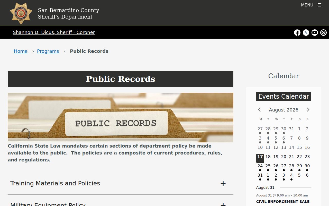
A ZIP clue can also lead to a narrow statewide lookup, but the record’s purpose must remain clear. The California Megan’s Law search offers name, map, address, and community modes with a statutory misuse warning. It is a public-safety registry, not a Rancho Cucamonga resident directory and not a complete list of people in a ZIP.
The image below comes from that statewide map and address channel. Use the ZIP only to orient the search, then read the registry’s own warning and result fields.
When the question becomes “which parcels share this street,” move to the street directory. When it becomes “which person is this,” move to resident verification. The Rancho Cucamonga ZIP code directory owns the postal layer and its boundary cautions, while each official statewide tool keeps its own access and use rules.